
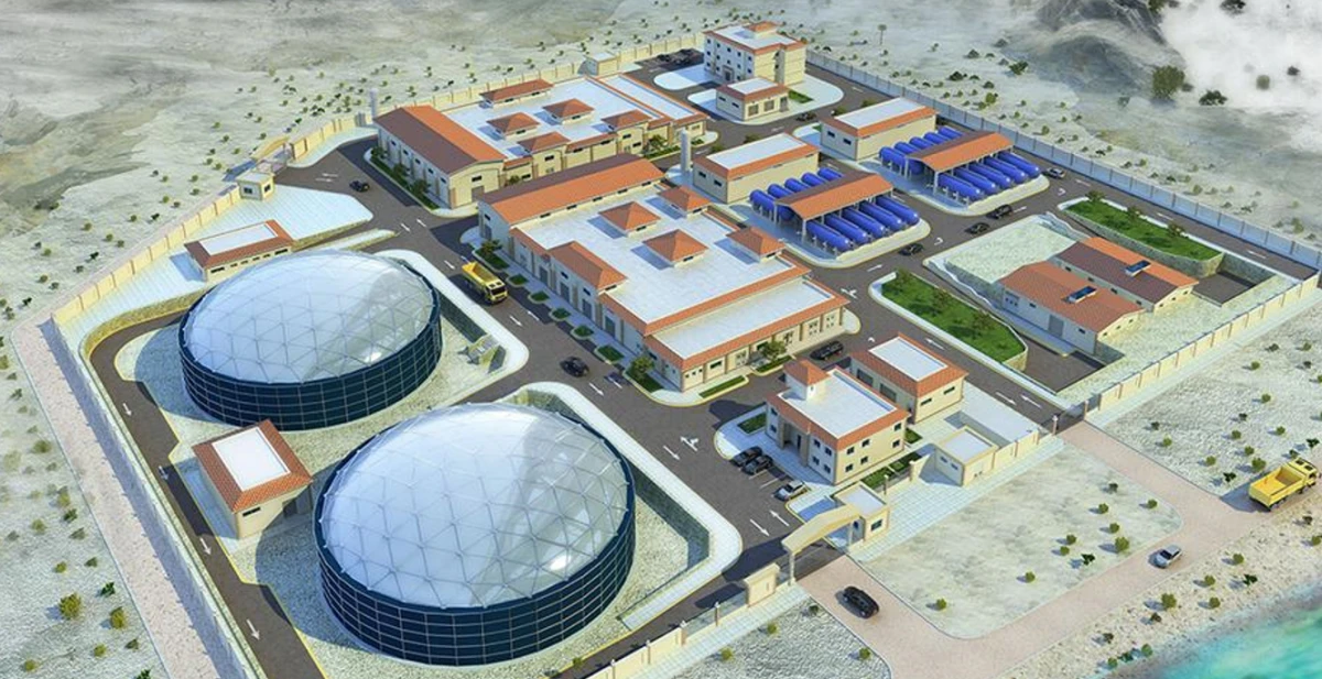
The plant is located in the Al-Rumaila area, east of Marsa Matrouh city, Matrouh Governorate, EGYPT approximately 70 meters from the Mediterranean coastline. Since Marsa Matrouh city is suffering from limited natura resouces of fresh water, alonge with the increasing demand for potable water to support the national developments and growing population, this plant plays a crucial role. The plant total design capacity is 60,000 cubic meters per day utillizing the reverse osmoses technology by drawing seawater for the desalination process and then discharging back to the sea the brine via pipes.
The project's main components include:
‒ Marine lines “seawater intake and brine discharge”
‒ Main pumping station
‒ Multimedia filters
‒ Desalination plant skids
‒ Calcite treatment plant
‒ Desalinated water tanks
‒ Network pumping station.
‒ Backup generator building.
‒ Administrative buildings, fence, main gates, and guard towers.
Egyptian Armed Forces Engineering Authority
TAM Environmental services